Skip to content

GreenZones

On the App Store as: GreenZones: Kiffer Karte (German)

A map of where you may and may not smoke cannabis in Germany. What mattered to me: whoever looks that up or shares spots with friends does not give away a location. That is why everything runs on the phone, offline, without sign-up and without a server of my own.

View on the App StoreApp website (German)Version 2.0.3, November 2026
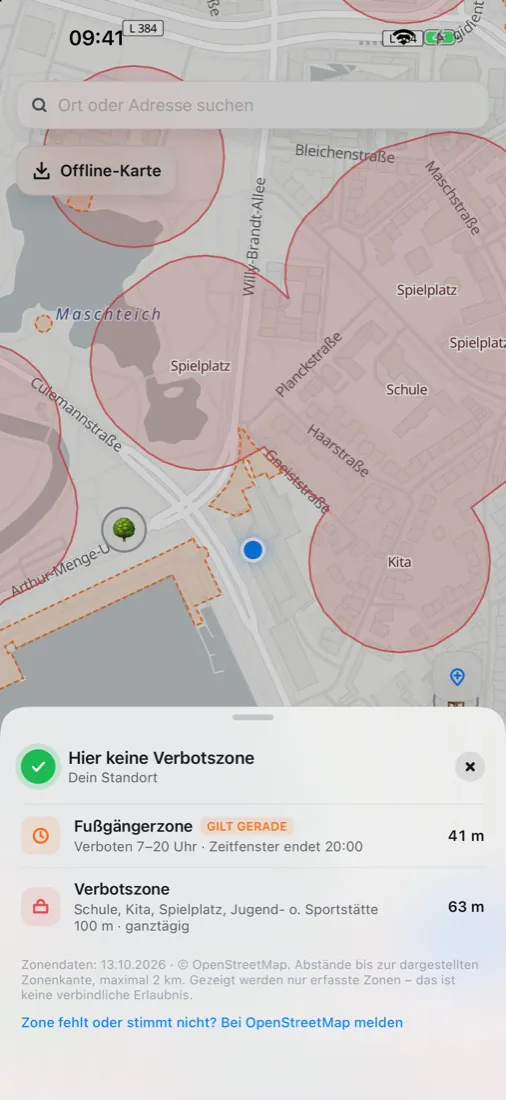
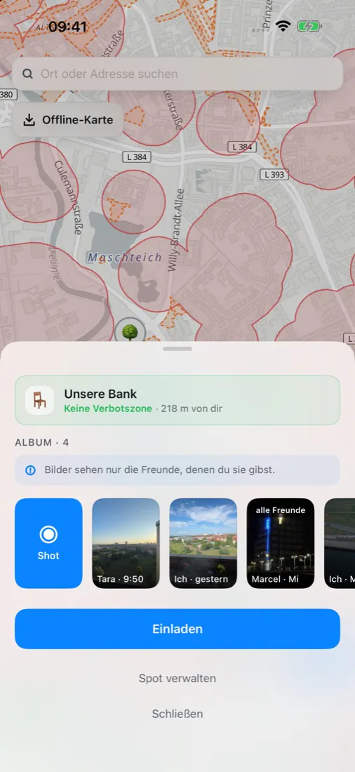
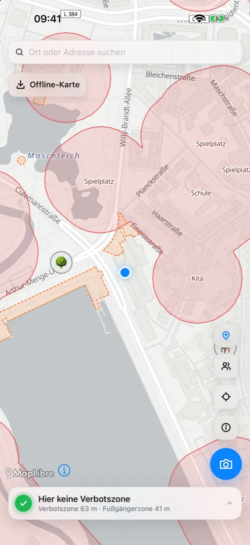
GreenZones: map with no-go zones around schools and playgroundsGreenZones: note on whether cannabis may be smoked at this placeGreenZones: a shared spot with photos from friends

What it is about

Since April 2024 adults in Germany may consume cannabis, but not everywhere. Section 5 of the cannabis act forbids it within sight of schools, daycare centres, playgrounds, youth facilities and sports grounds, and in pedestrian zones between 7 am and 8 pm. Nobody carries that map in their head.

GreenZones shows it. You can also keep your own places with photos and share them with friends.

How it works

The zones are derived from OpenStreetMap data, for pedestrian zones depending on the time of day. Zones and place search already sit on the iPhone. For streets and paths without a connection you download an area of 20 by 20 kilometres in advance.

Sharing runs through the users' iCloud. Photos lose their capture location before they are shared.

What was hard

Sharing without a server of my own

Anyone who checks where they may smoke should not reveal their location to anybody, including me. So everything is computed on the device, and there is neither an account nor a server of mine. Friends only come about through an invitation link. What is shared is the place, never the position where somebody currently stands.

Built twice

The first version was a web app. Then I rewrote GreenZones natively in SwiftUI: SQLite via GRDB, the map with MapLibre, notifications through a Notification Service Extension.

A map that does not promise more than it knows

The 100-metre areas are a simplification, the law speaks of visibility. So the app says "no no-go zone here" and not "allowed here". If a zone is missing or wrong, you report it from the app directly to OpenStreetMap.
Key facts

On the App Store since
September 2026
Runs on
iPhone
Built
solo
Tech
Swift, SwiftUI, MapLibre, SQLite via GRDB, CloudKit, Python for the zone data